
The development of satellite technology makes an invaluable contribution to many areas of human life. These technologies play a critical role in observing the planet and playing an essential role in modern communications and stimulating the economy. In addition, satellite imagery and data are the basis for decision-making in many sectors, including industry and government. Satellite technology has also greatly enhanced the ability of farmers to monitor, assess, and improve yields. They provide an opportunity to receive valuable information, including weather prediction and analytics, which contributes to the timely adoption of measures to protect crops. Here you can find out how it works.
Tracking weather patterns
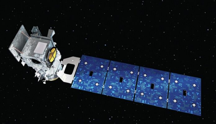
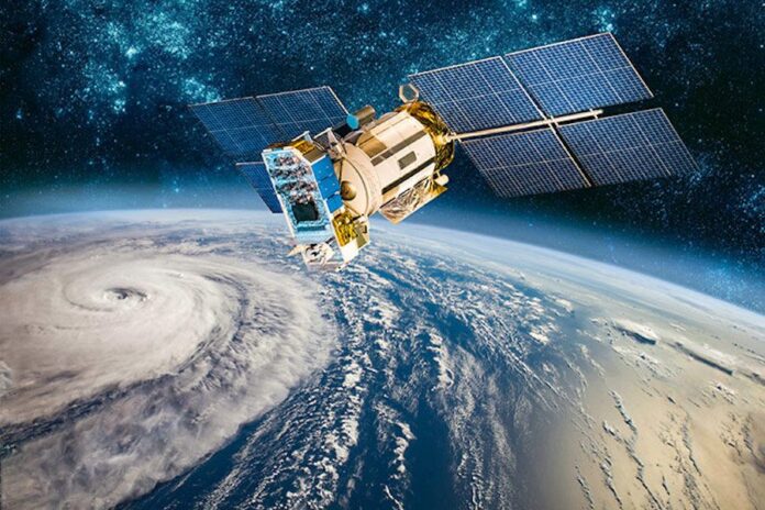
In 2018, NASA’s ICESat-2 spacecraft was launched, which is an example of satellite technology to track weather patterns. Earlier versions of the device made it possible to track the thinning of sea ice and the melting of ice sheets on the shores of Greenland and Antarctica. The 2018 device provides even more detailed information on changes in the ice cover throughout the year.
ICESat2 satellites measure every 85 centimeters (34 inches) along their path on the Earth’s surface. Data from successive generations of satellites is expected to enable better forecasting of sea-level rise. They will also improve the prediction of changes in other climatic and weather conditions.
Making data work for farmers

Today, more than 160 satellites are measuring various indicators of climate change. However, the data and images obtained are used not only for monitoring and predicting global warming. Remote sensing data are also used in agriculture and industry, and other areas of human activity.
The information provides many benefits and empowers farmers. With the help of accurate remote sensing data, farmers and other participants in the agricultural business can improve decision-making, monitor vegetation, and get valuable information about all changes in the fields. Harnessing the power of satellites is helping to increase yields and address food security challenges.
Confronting humanitarian crises
Hunger is one of the most serious problems today, and however, satellite images can also contribute to the solution of this issue. Farmers can assess crop yield and also determine when the plants need watering or fertilization. Furthermore, the NDVI index created using special spectral bands such as near-infrared helps identify the state of crops.
Satellite data plays a vital role in monitoring and caring for crops, and they give a chance to take protective measures before the damage is done. In addition, satellites provide data on all agricultural land which makes up about 40 percent of the land area.
Researching alternative energy
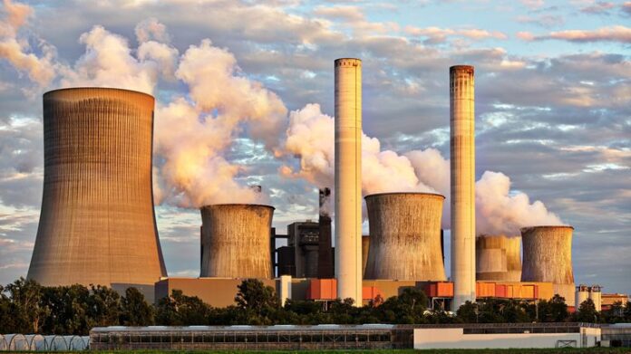
Fossil fuels are a limited resource that also pollutes the atmosphere. However, instead of fossil fuels, humanity can use other energy sources, which scientists and researchers worldwide are seeking. For example, NASA offers various ideas about renewable energy sources.
Scientists of this organization have developed a method through which fuel can be obtained from algae since most of their species produce oil. The idea stems from NASA’s search for new ways to dispose of wastewater, and it is proposed to place the membranes with wastewater in the ocean.
The nutrients contained in the waste will become a source of nutrition for the algae. Algae absorb waste and prevent it from polluting the sea. In this way, biofuels can be obtained as a by-product. The only by-products of this process are water and oxygen, which can also be considered an additional benefit.
Tackling climate change
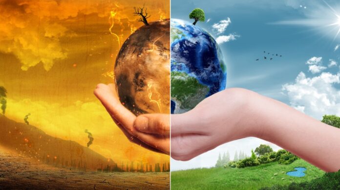
In combination with other modern innovations such as AI, the Internet of Things, and others, satellite technologies play an essential role in supporting the fight against climate change. The main goal of the Paris Agreement is to limit global warming to 34.7 ℉ (1.5 °C), and communication and information technologies can help in this. Satellite measurements have evolved and improved over the years, allowing for more data on climate change and tracking changes in the planet’s geological features, including ice sheets.
Monitoring wildlife crime
An urgent problem today is also the preservation of rare species of animals and biodiversity in general. In this sector, satellites have also found effective use. For example, in Africa, satellite technology is used to protect rare species from poachers. Trailguard AI camera systems, a joint venture between a non-profit organization and a satellite information provider, protect against poaching. This system enables national parks to locate and stop poachers. In Tanzania, tests of the system resulted in the arrest of 30 poachers.
Researching air quality
Sulfur dioxide, carbon monoxides, mercury, particulate matter, and other pollutants affect the health of the population of our planet and the state of agricultural land, crops growing on them, and biodiversity in water and on land. Observing technologies developed by NASA provides improved possibilities for understanding and tracking the air quality of the planet. One of NASA’s instruments, called a high spectral resolution lidar, is used by scientists to measure aerosols in the air. In this case, the device is installed on a small aircraft.
NASA partnered with the EPA to use an instrument to measure smoke aerosols during a forest fire in South Carolina. Thus, the Environmental Protection Agency specialists will receive data on pollution and will be able to learn more about their effects on air. Furthermore, the data obtained contribute to the development of practical solutions for maintaining a clean atmosphere. Remote sensing tools can detect various contaminants in substances. In addition to detecting aerosols, these instruments also measure contaminated gases and greenhouse gases at high altitudes.
Final Thoughts
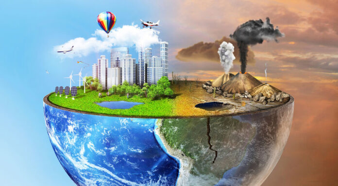
Satellites can provide benefits in various areas of human life and help solve several problems associated with climate change. The list of opportunities related to satellite data also includes environmental protection, agriculture, and the search for alternative energy sources. A critical function of satellites and remote sensing technologies is to track air pollution and provide data to develop more efficient solutions to keep it clean in the future. Advances in satellite technology will help provide even more opportunities for Earth observation. In combination with other innovative technologies, even more, solutions can be found to solve various pressing issues.


